Architecture ↗
BGEN

3D LASER SCANNING / GROUND SCANNING

From reality
to the digital model.

The experience, tools and decisions behind spatial data.

01 — GROUND SCANNINGSITE · DATA · DRAWINGS · BIM ↗

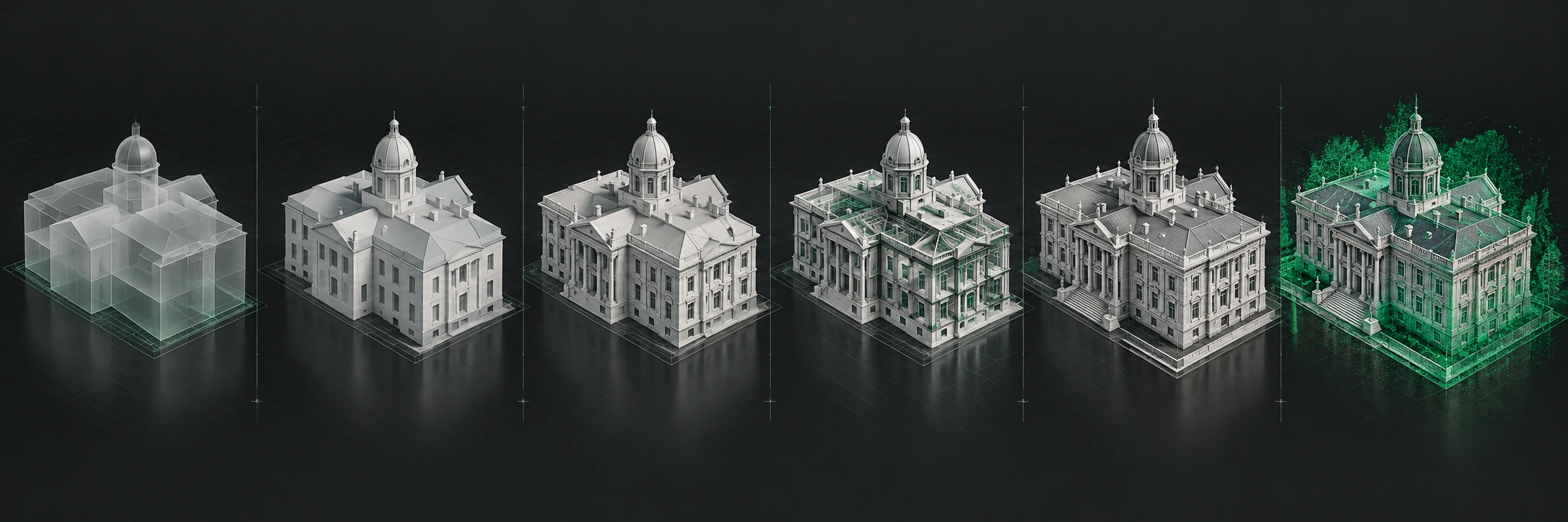
Conceptual illustrations of the workflow — these are not materials from a completed project.

FROM SURVEY TO USABLE DATA

Point clouds, drawings and BIM models provide a measured basis for design. We agree the survey scope, level of detail and deliverables for each project.

GROUND SCANNING ↗

EXPERIENCE · SINCE 2018

We survey with
a designer’s eye.

We began using 3D laser scanning on a complex distillery — a project that would have required days of manual measurements, over a thousand photographs and approximately a month of drafting using traditional methods. Our first Leica BLK360 changed more than our speed: it changed the way we understand buildings.

Today we combine static and mobile scanning with aerial LiDAR and photogrammetry. In 2025 alone, we surveyed over 100,000 m² of gross floor area.

2018
start of our systematic use of 3D scanning
100 000+ m²
gross floor area surveyed in 2025
Site → model
one connected workflow
A point cloud reveals more than dimensions: it records the history and actual condition of a building.
PROCESS

Accuracy begins
with the right brief.

  1. 01Scope

    We define the purpose, areas, accuracy, access and required deliverable formats.

  2. 02Site

    We combine the appropriate ground-based and aerial equipment for each project.

  3. 03Data

    We register and process the scans, and check coverage of the surveyed spaces.

  4. 04Deliverables

    We produce the agreed models, drawings and delivery formats.

TECHNOLOGY TOOLKIT

We do not just choose a scanner.
We choose the right method.

RTC360, BLK2GO and BLK360 each play a different role in one connected system. The equipment serves the task, not the other way around.

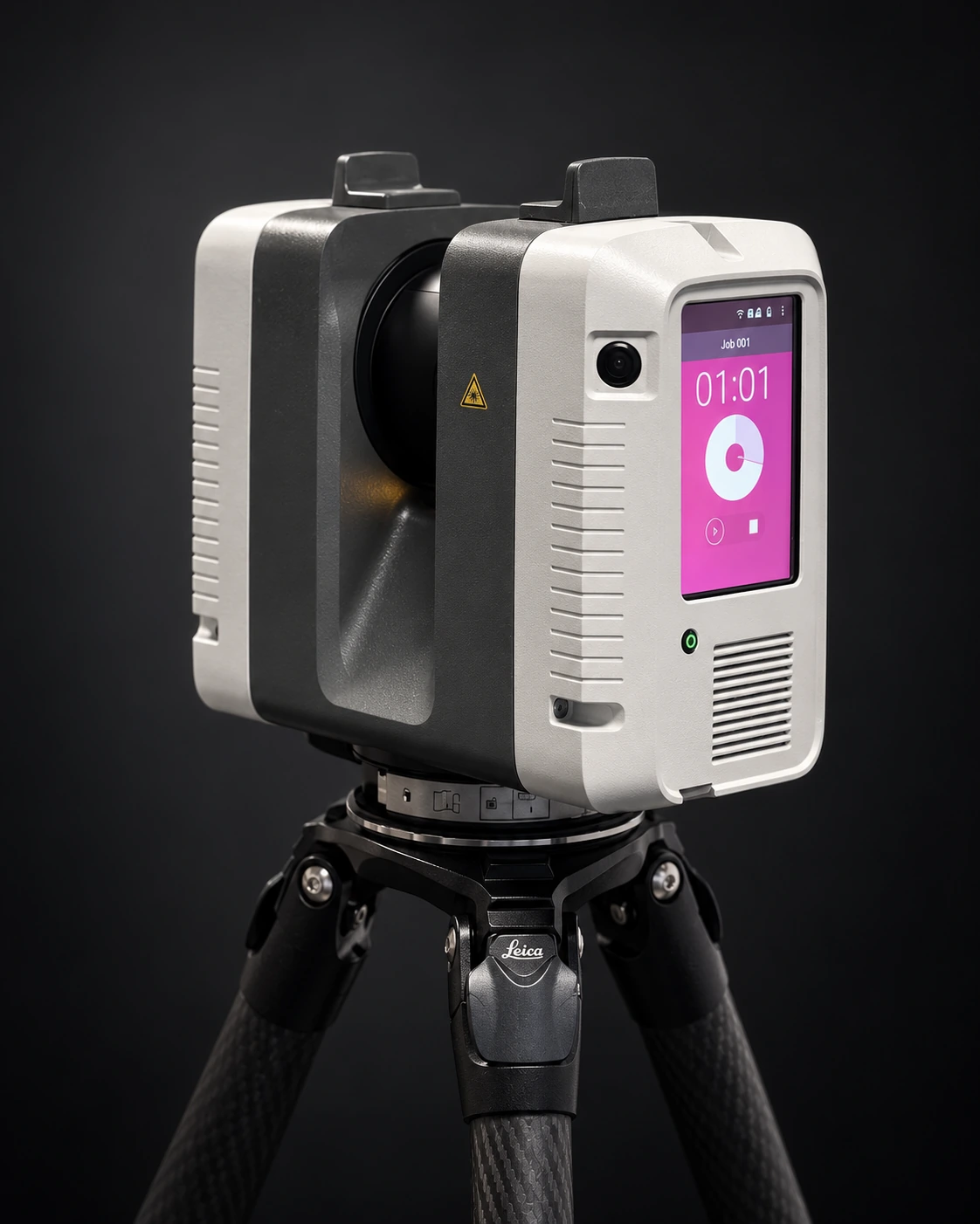
Leica RTC360
01 / 03 · HIGH-PERFORMANCE STATIC SCANNING

Leica
RTC360

High point density, precise geometry and fast capture on large and complex projects.

Up to two million points per second, a colour 3D point cloud with HDR panoramas and a VIS system for preliminary alignment of scan positions in the field.

2 000 000
points / sec.
up to 130 m
range
1.9 mm
accuracy at 10 m
Leica BLK2GO
02 / 03 · MOBILE SLAM SCANNING

Leica
BLK2GO

Spaces are captured on the move — without a tripod or pauses between scan positions.

GRANDSLAM technology combines LiDAR, an inertial system and cameras to build a colour point cloud in real time.

420 000
points / sec.
up to 25 m
range
775 g
including battery
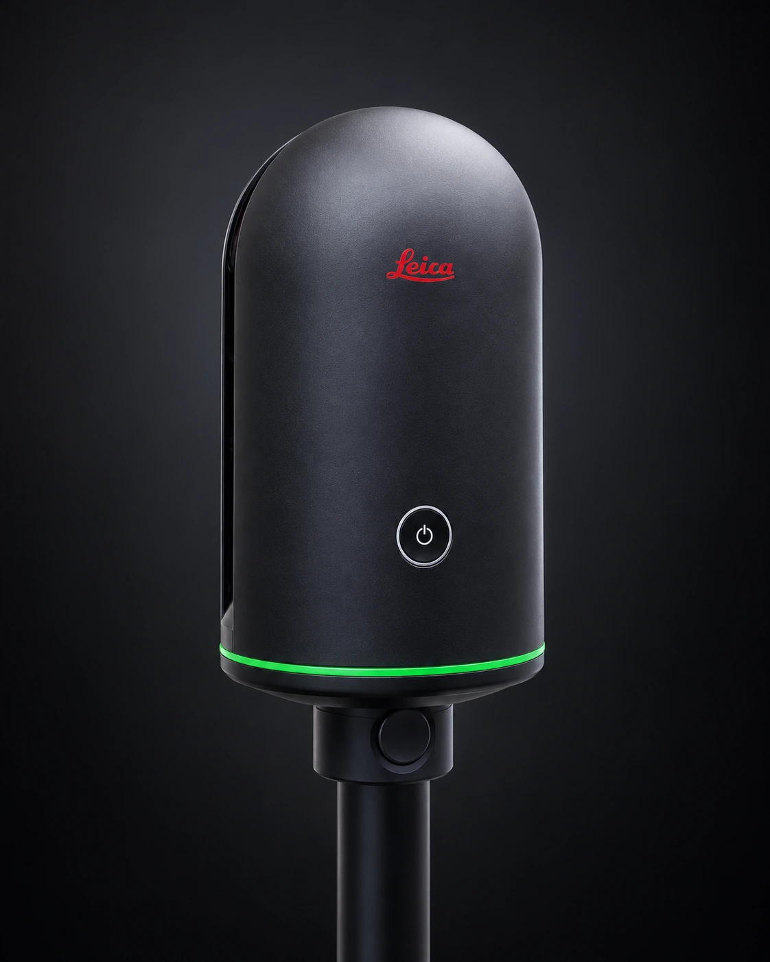
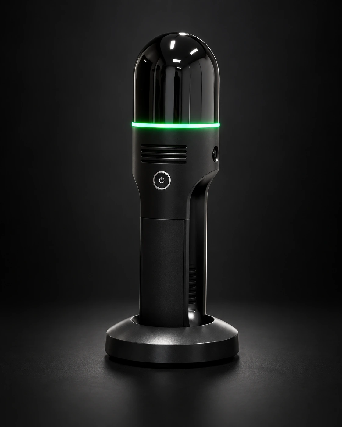
Leica BLK360 G1
03 / 03 · STATIC LASER SCANNING

Leica
BLK360 G1

The compact scanner that started our digital workflow.

Controlled, position-based scanning of façades, interiors and existing buildings, where measurable geometry is the priority.

360 000
points / sec.
up to 60 m
range
6 mm
accuracy at 10 m

LEVEL OF DEVELOPMENT · LOD

As much detail
as the task requires.

LOD is part of the model brief, rather than a service. It defines the extent to which the geometry and information of individual elements can be relied upon.

Successive levels of development of a BIM model
ONE BUILDING · AGREED LEVELS OF DEVELOPMENT
100

Conceptual massing

200

Approximate geometry

300

Precise, measurable geometry

350

Connections and coordination

400

Fabrication and installation

500

Verified as-built condition

IVD PROJECT can deliver any agreed LOD. The level is defined by the model’s intended use and may vary between individual elements and systems.

DELIVERABLES

Data ready
to work with.

01

Point cloud

Registered and processed data in a format compatible with the recipient’s software.

02

3D / BIM model

Interpreted geometry of the existing building at an agreed level of development.

03

Architectural drawings

Plans, sections, elevations and details as a basis for further design.