
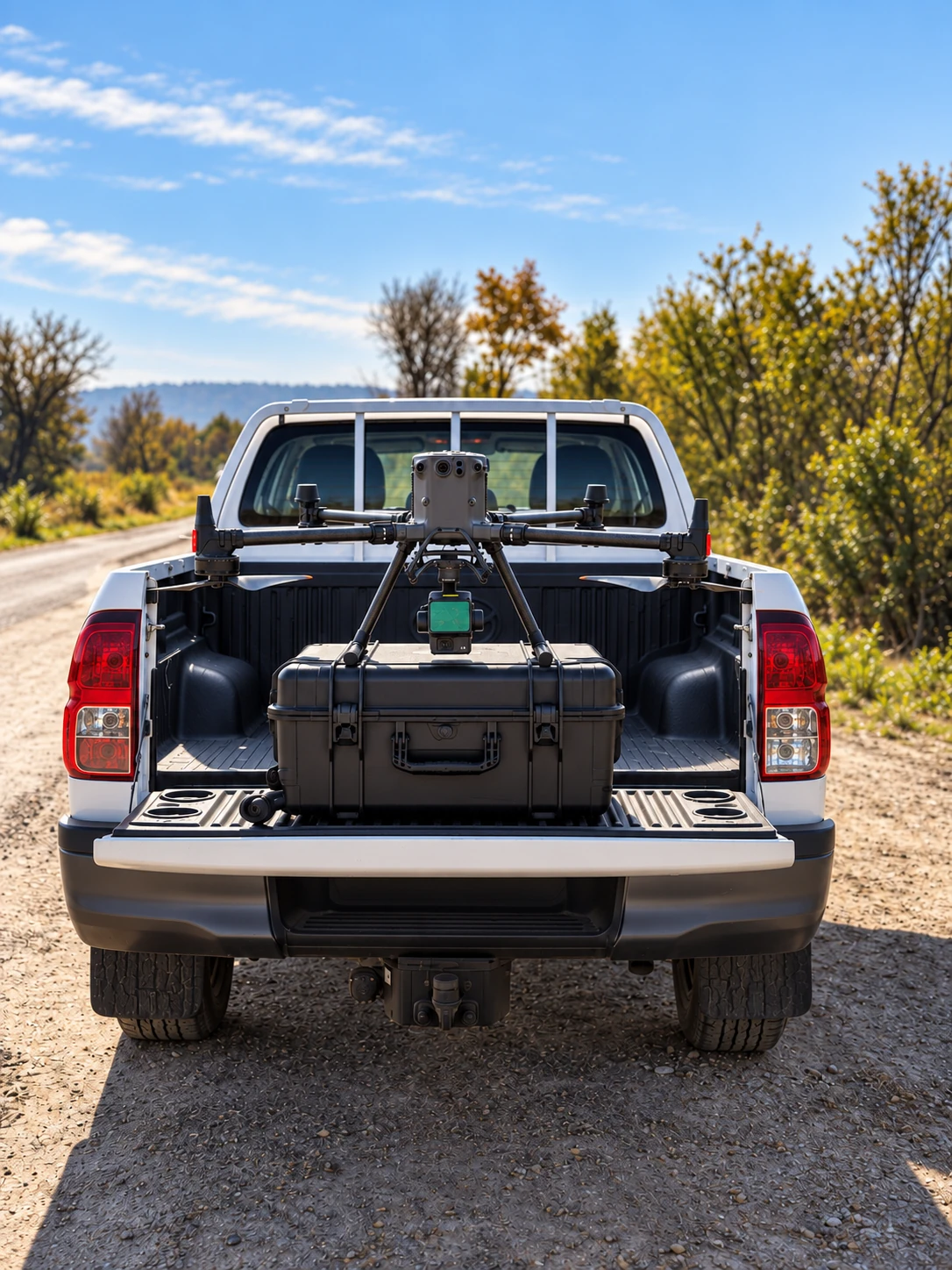
DJI MATRICE 350 RTK
Buildings.
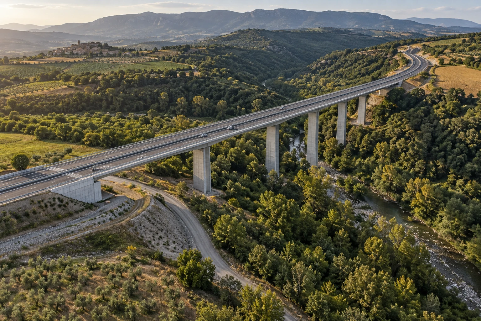
Structures.
Terrain.
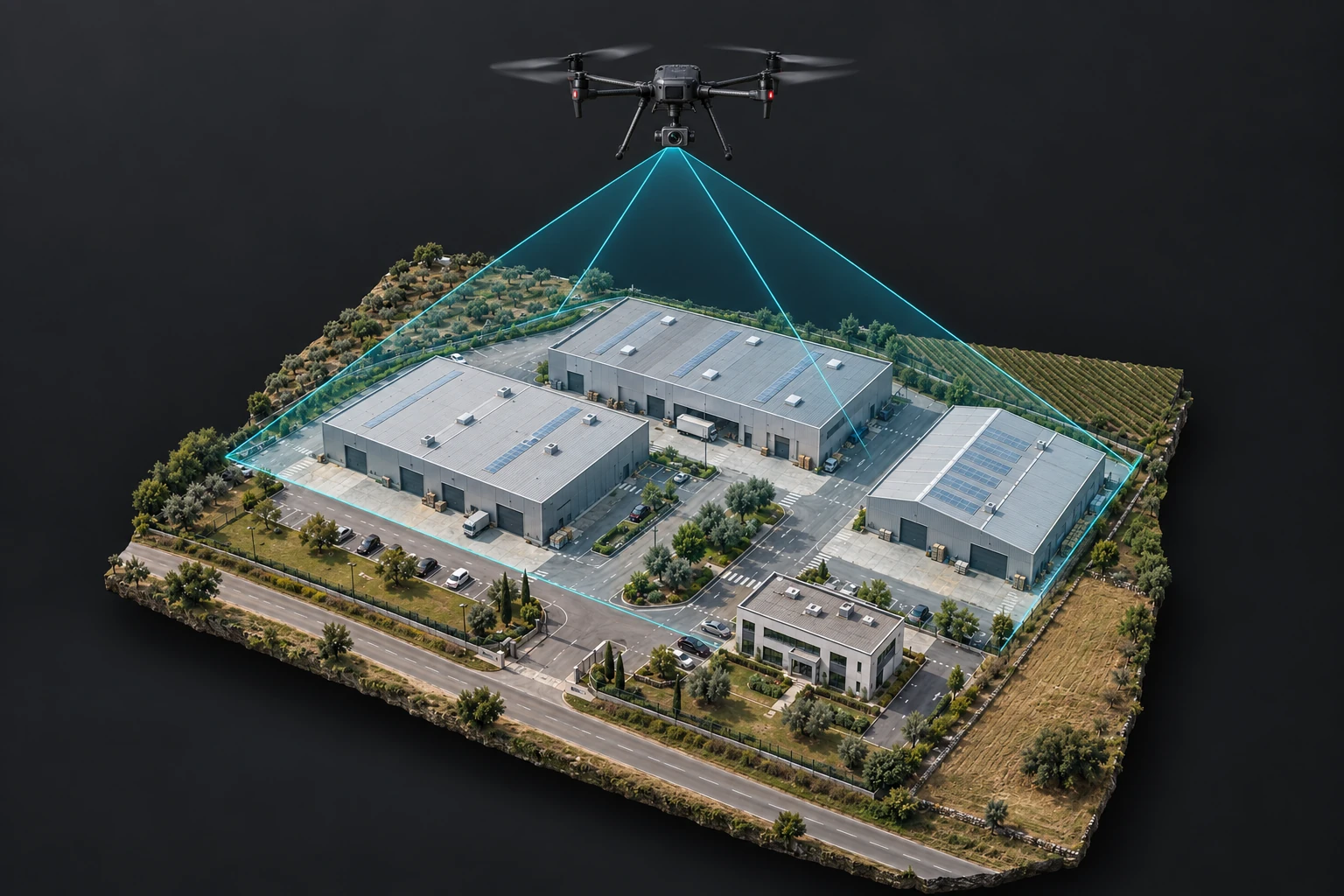
A ground scanner records everything visible from ground level. From the air, we complete roofs, tall façades, structures, large areas and terrain that is difficult to reach.
DJI Matrice 350 RTK works with two different survey sensors — the Zenmuse L2 LiDAR and the Zenmuse P1 photogrammetry camera. Their data can be combined with ground scans in one coordinate system.
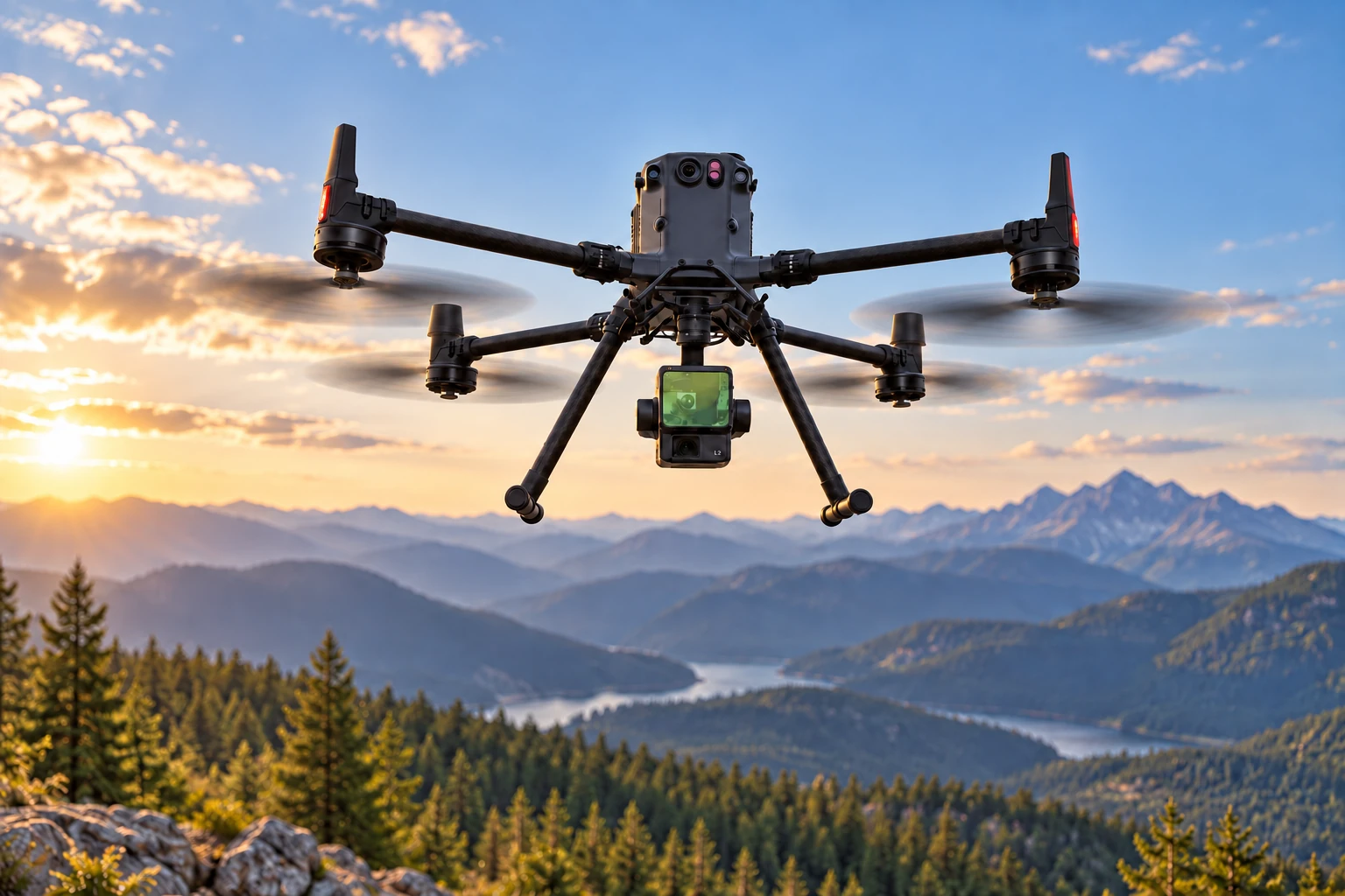
- up to 5
- returns from a single LiDAR pulse
- 45 MP
- full-frame Zenmuse P1 sensor
- RTK
- precise positioning for every mission
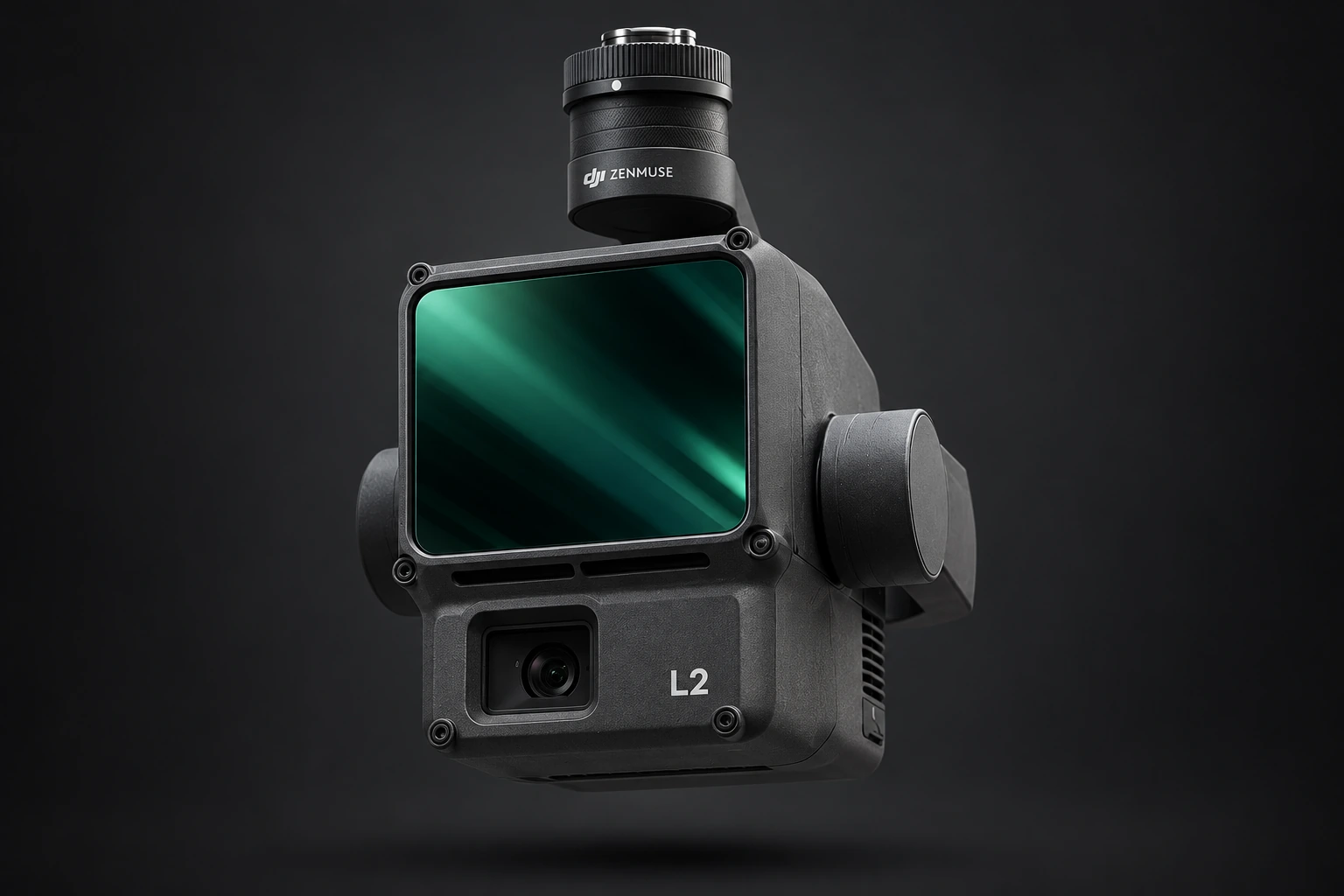
LiDAR / ZENMUSE L2
The terrain beneath
the vegetation.
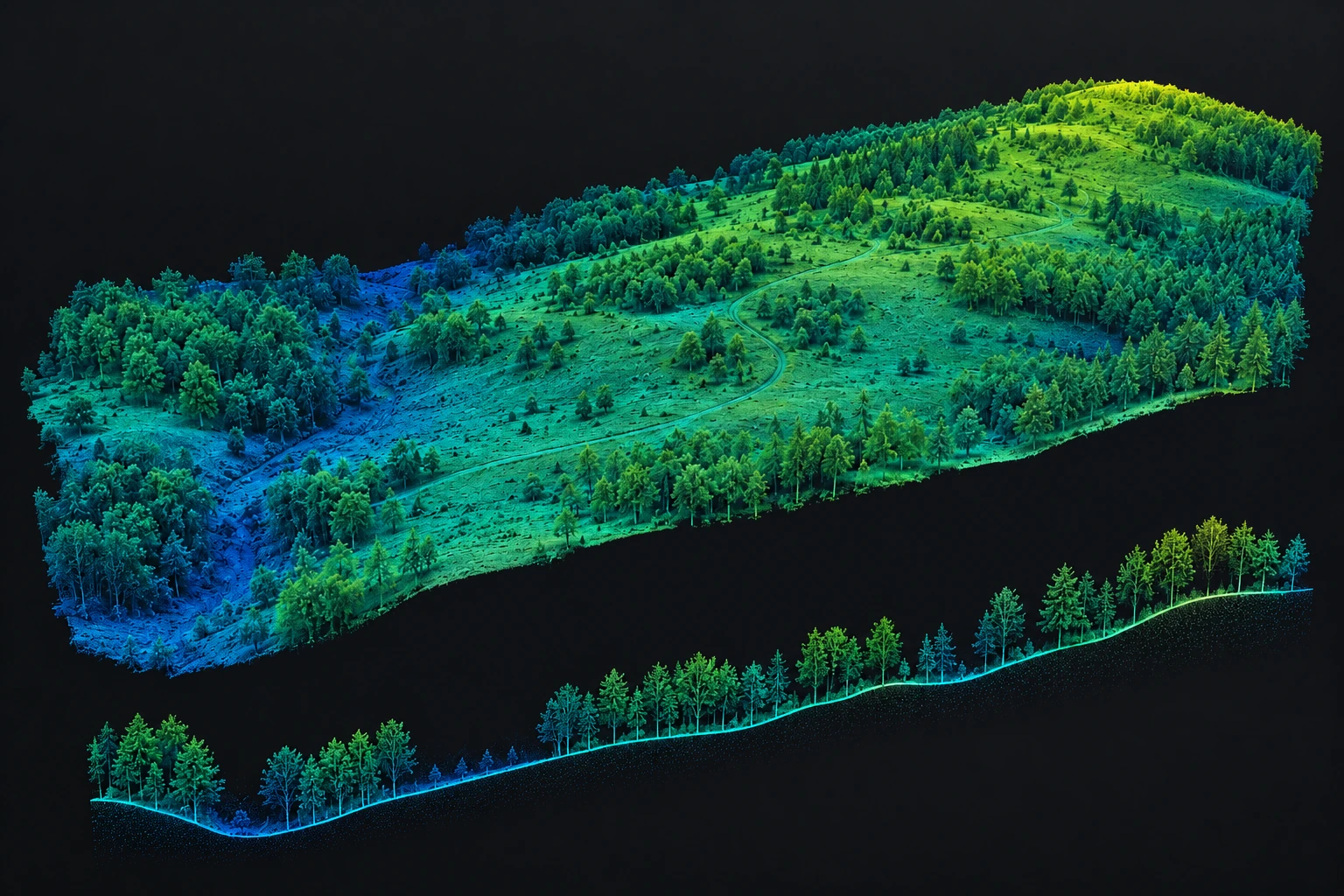
This is the defining advantage of aerial LiDAR: it can survey topography where an ordinary camera mainly sees the tree canopy.
The laser emits a high number of pulses. Some return from the canopy, while others pass through gaps between leaves and branches to reach lower vegetation or the ground surface. L2 records up to five successive returns from a single pulse. By classifying the point cloud, we separate ground points from vegetation and build a true digital terrain model.
The smaller laser spot and non-repetitive scanning mode provide stronger penetration and more structural information in forests and along survey corridors.
- Forested and heavily overgrown terrain
- Steep slopes, ravines and hard-to-reach areas
- Digital terrain models, contours, profiles and volumes
HOW IT WORKS
From the canopy to
the ground surface.
The animations illustrate multiple returns and how an aerial mission builds a point cloud above complex, forested terrain.
Canopy
The first returns describe the highest vegetation.
Branches and understorey
Intermediate returns record the structure beneath the canopy.
Ground surface
Pulses that reach the soil provide the terrain points required for modelling.
Terrain model
After classification, the terrain is reconstructed without vegetation obscuring its form.
PHOTOGRAMMETRY / ZENMUSE P1
Visible surfaces
in maximum detail.
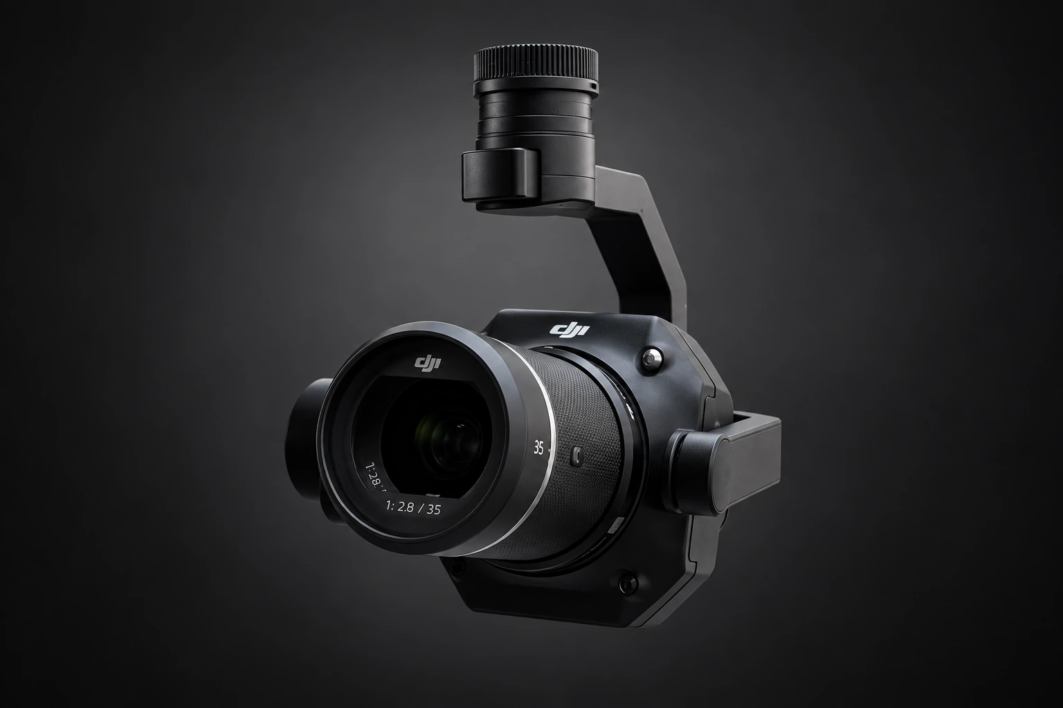
P1 is not a laser scanner. It is a metric 45 MP full-frame camera that captures a sequence of precisely positioned images for photogrammetric reconstruction.
The sensor can capture an image every 0.7 seconds. Its mechanical shutter reaches 1/2000 s to limit motion distortion, while TimeSync 2.0 synchronises the camera, gimbal, aircraft and RTK positioning. Precise position and orientation data are therefore recorded with each exposure.
Nadir capture
Orthomosaics and measurable imagery of terrain, roofs and construction sites.
Oblique capture
Smart Oblique Capture aims the camera from different angles towards façades, roofs and tall objects.
3D reconstruction
A dense point cloud and textured three-dimensional model of a building or structure.
Detail for the task
Interchangeable 24, 35 and 50 mm lenses for wide areas or detailed capture of individual assets.
AERIAL SURVEYING
In the field.
DJI Matrice 350 RTK
Zenmuse L2
CHOOSING THE METHOD
Two sensors.
One measurable environment.
LiDAR L2
When topography, vegetation, elevation differences or difficult access define the task.
P1 camera
When real texture, detailed orthomosaics and complete visible geometry are required.
L2 + P1
When the same site needs accurate terrain, a colour point cloud and a high-detail 3D model.
Air + ground
When aerial data must be combined with ground scans for complete documentation.